One map. Several ways to share it.
A figure for a paper, an image for a social post, or a map your readers can explore. These are real Marches exports, all using the same pilgrimage sample.
Static · one moment
A map for the page
Places visible in 1170, with a year label. Use PNG in slides and documents, or SVG for a scalable figure you can edit.
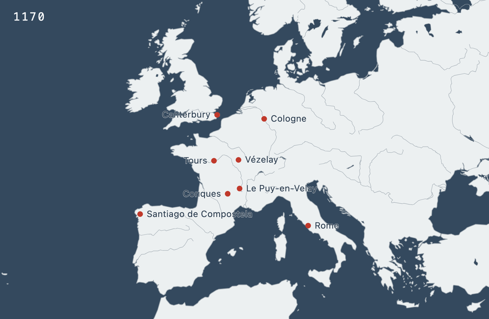
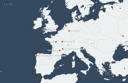
PNG: 1560 × 1020 pixels.
Static · change side by side
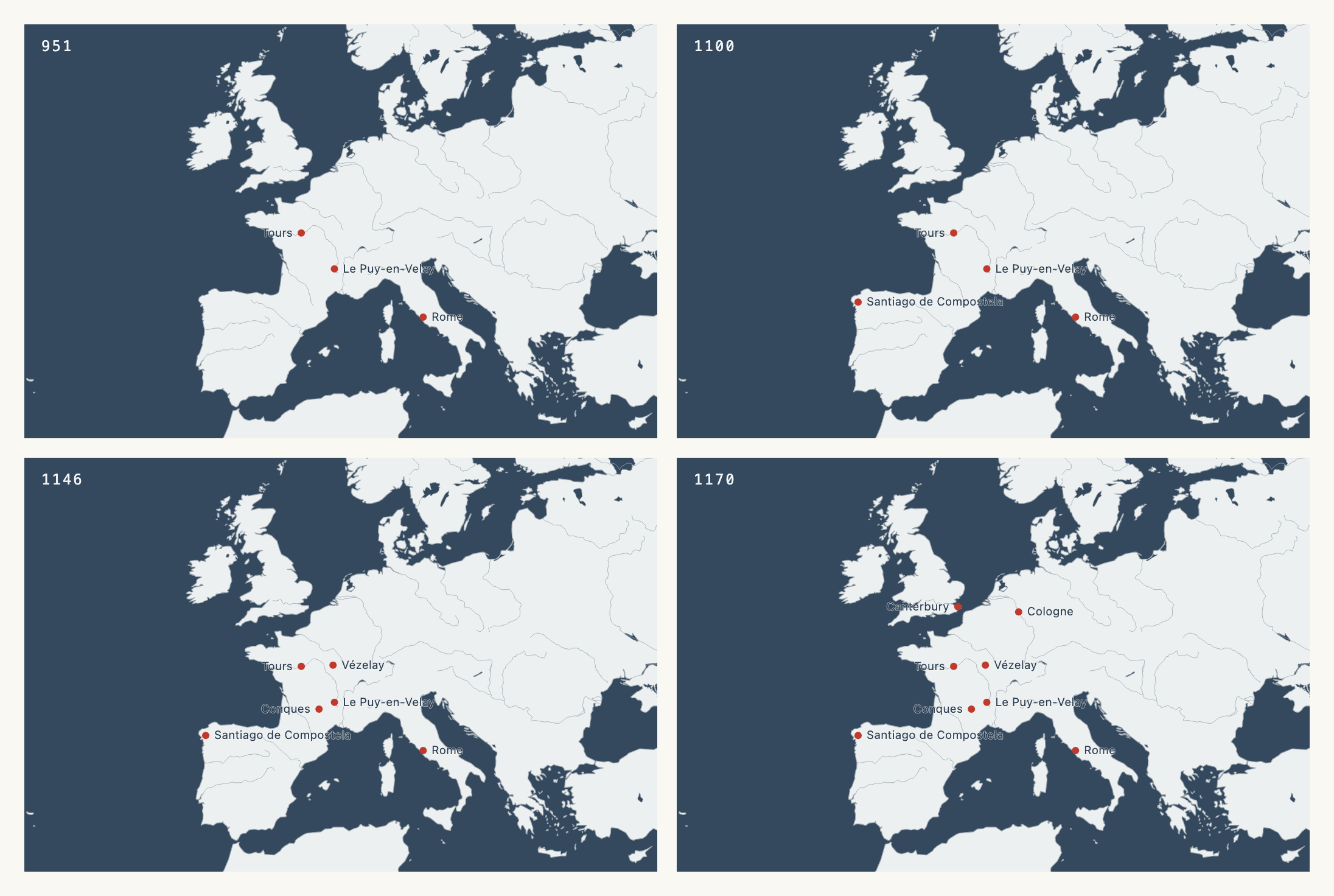
Four years, one figure
951, 1100, 1146, and 1170 share the same view and scale. Compare them on a printed page, or use individual frames across a slide deck.
Social · tell it in slides
Four years, one carousel
Each portrait slide has a year, a short caption, and a timeline strip. The view stays fixed as places appear. This example uses Blue, from the Monochromatic palette section.
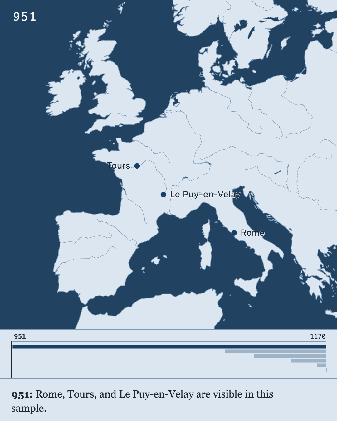
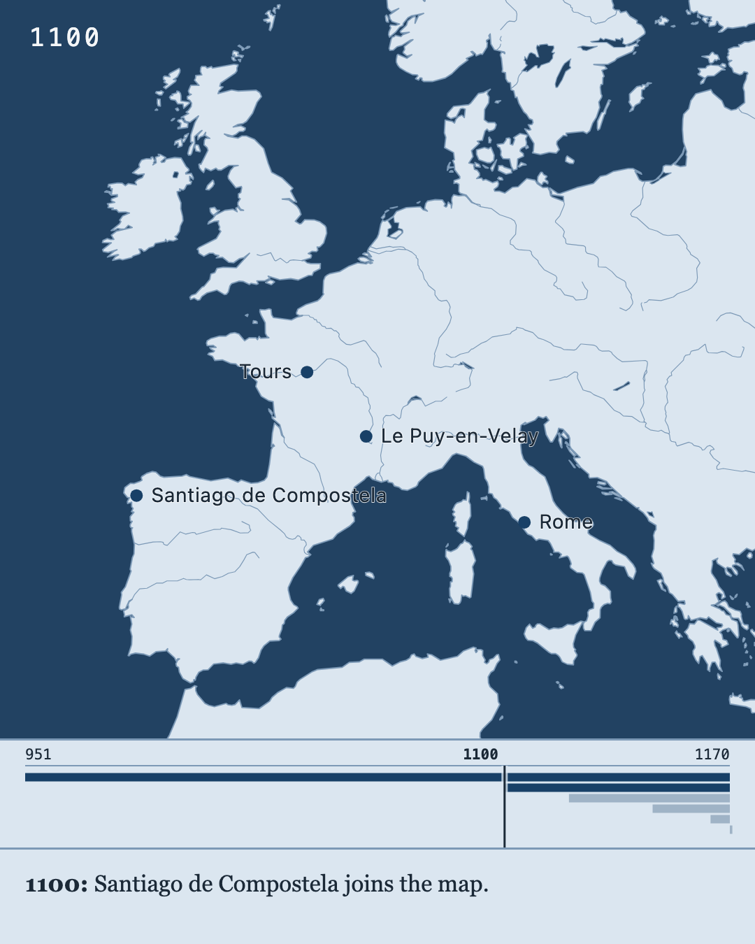
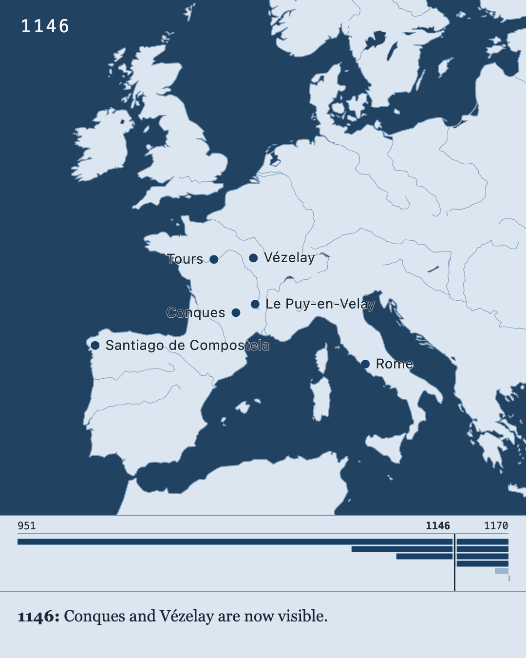
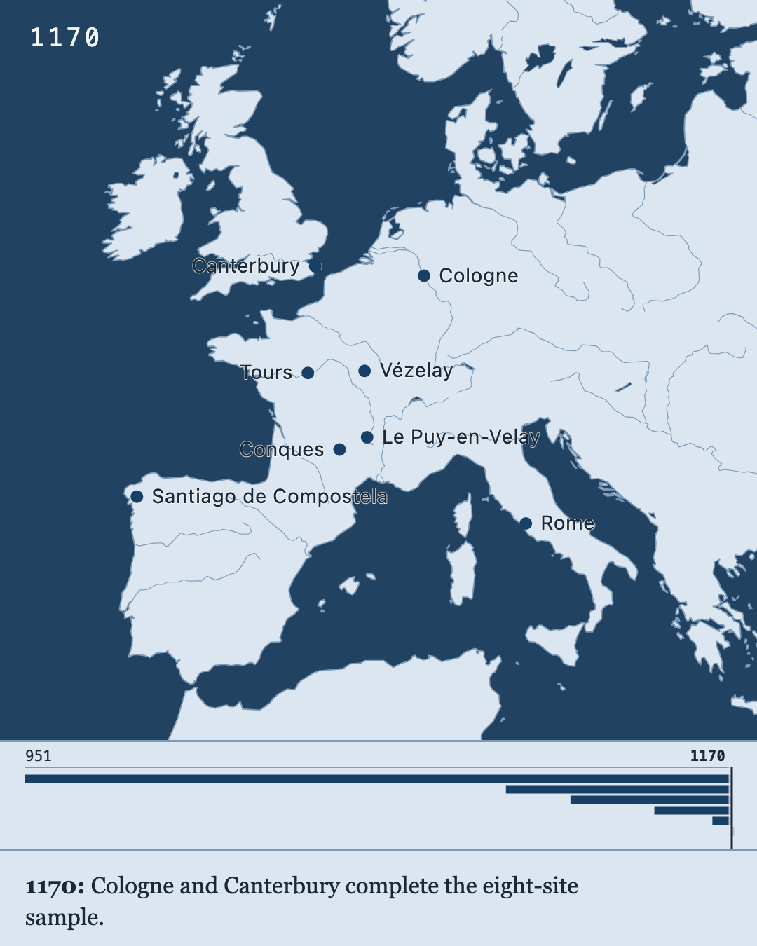
Four numbered PNGs, each 1080 × 1350 pixels. To make your own, write captions in Timeline → Choose years → Story, then export an Image series with the Portrait shape. Open the project in Marches to try it.
Dynamic · a map to explore
Press Play to move through time
Play the four selected years, change the speed, or use the year slider. Click a place to read its sample source. You can pan and zoom, too.
The downloaded HTML works offline in a browser. This is an interactive map, not a video file. Open the project file in Marches to change the years, colors, or labels.
About this sample: eight European sites from the Marches pilgrimage example, with approximate modern coordinates and illustrative dates and source notes. A dated place appears from its stated year onward; undated places remain visible. The years mark selected events in the sample, not the founding of each site or a complete history of pilgrimage. Coastlines are modern.
Social · choose your shape
A map that fits the post
The same map in five shapes, using the Ensign palette. In Marches, choose Export → Image shape to preview the fit and pick your size. The geography expands to fill the frame.
These are the default Large PNG sizes. Marches also offers smaller and larger images, plus scalable SVGs. Click any preview to open the full image.